Blog
Herding Riders Across Africa: Ride With GPS
Benjamin Levin is the Content Creator on the 2024 Tour d’Afrique Cycling Expedition. In this report, he takes a look at TDA Global Cycling’s method of navigation for the riders on tour.
TDA’s Navigation History
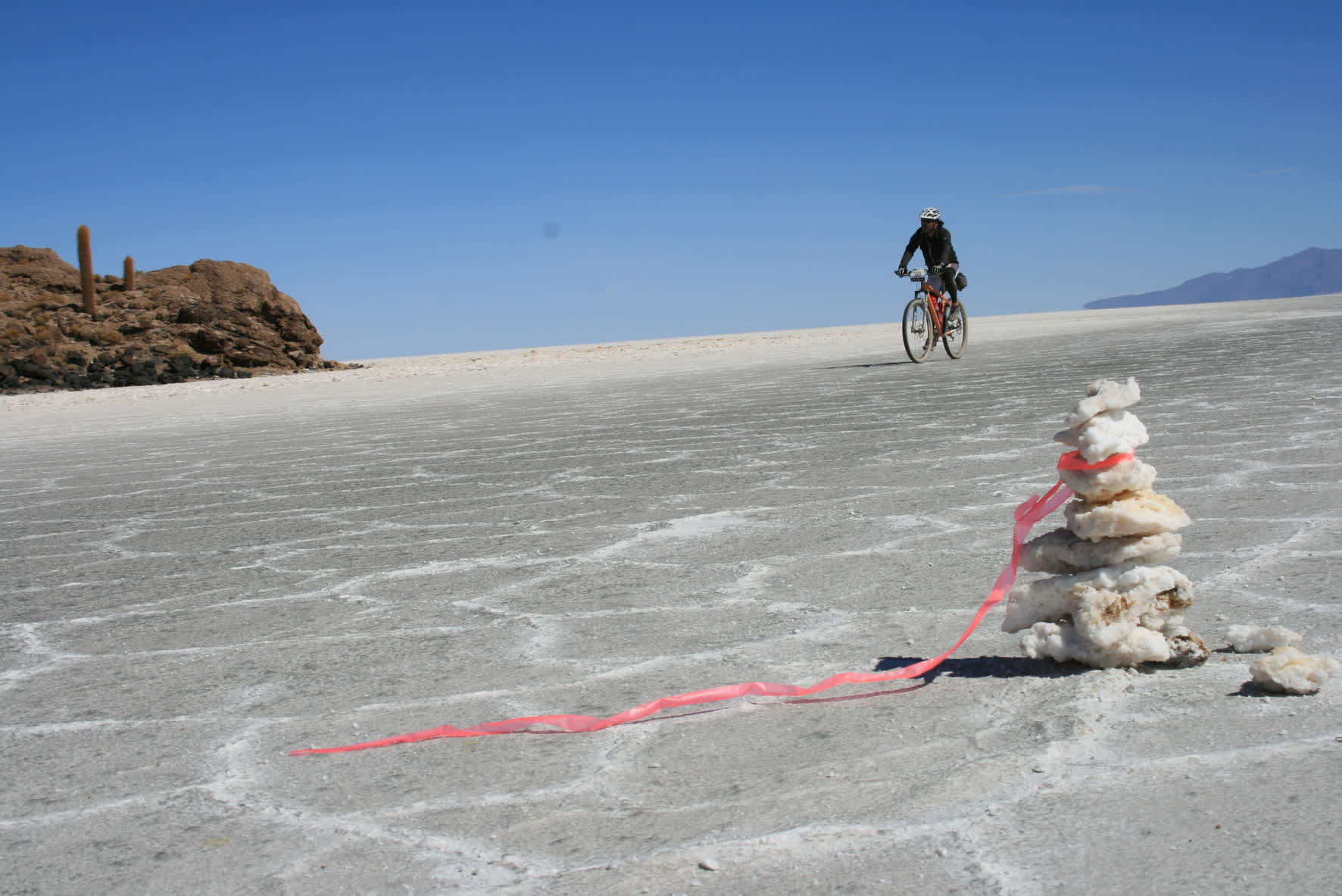
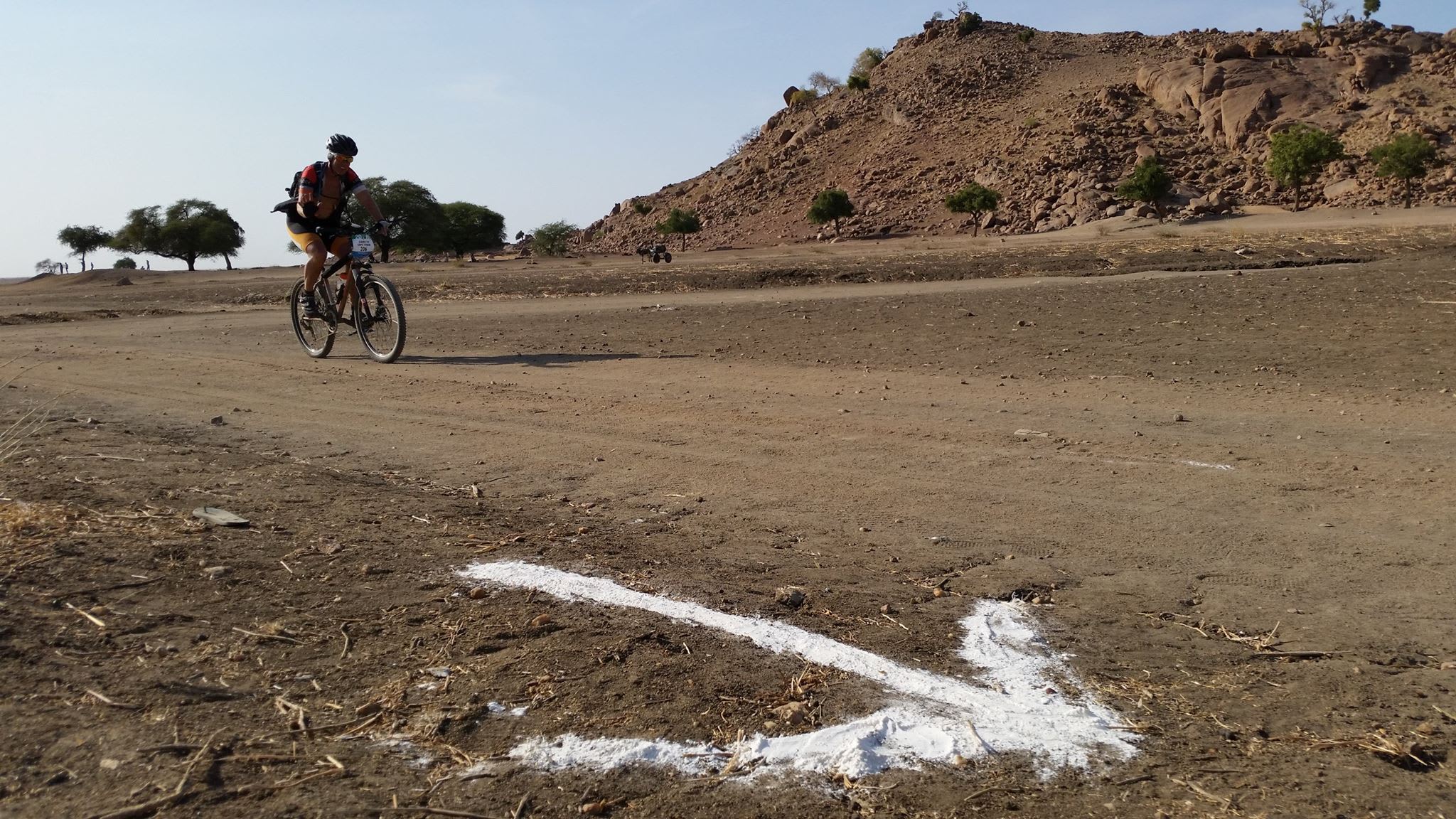
In the company’s not so recent past, GPS mapping software was not as readily available as it is today. That meant in order to navigate groups of cyclists across continents, they used biodegradable flagging tape. Yes, flagging tape. Imagine biking 10,000 km down the entire length of Africa and only being directed by little pieces of bright orange tape hung on whatever the staff could find. Sometimes, they even used energy drink powder….needs must!
>>Related Post: Finding Your Way Home
Well, luckily for everyone who would be involved in what seems like a stressful process, TDA has changed with the times and now employs a new way of herding the groups of sometimes 60+ riders across continents. They use GPS mapping and the Ride with GPS interface (with only the occasional flagging tape for areas that may prove confusing).
>>Related Post: Navigation And The Tour d’Afrique: On A Wing And A Prayer
So, what is Ride with GPS? Ride with GPS is an interface that allows users to plan routes as well as map, analyze, and share their rides with friends. Similar to other apps such as All Trails which is used for hiking and running and Polar Steps which specializes in general travel tracking, Ride with GPS is designed for bike travel. With an extensive database of maps, Ride with GPS allows TDA to navigate its plans accurately and efficiently along the routes that they plan out.
Currently, Ride with GPS is being used on the 2024 Tour d’Afrique and 3 months into the tour it has worked without a hitch. We have travelled through deserts in Egypt, mountains in Rwanda, and the savannahs of Kenya and Tanzania, all while having Ride with GPS telling us where to turn, where to find refreshment, and most importantly, how far until lunch!
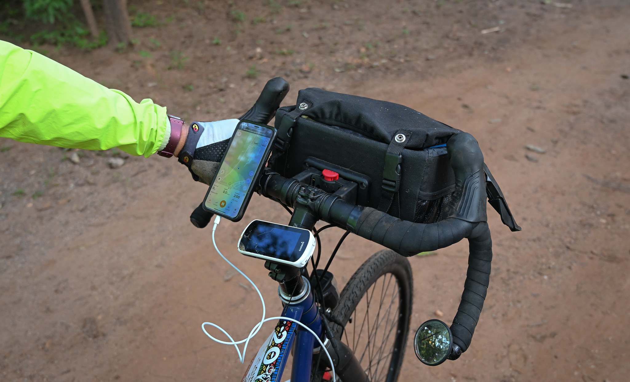
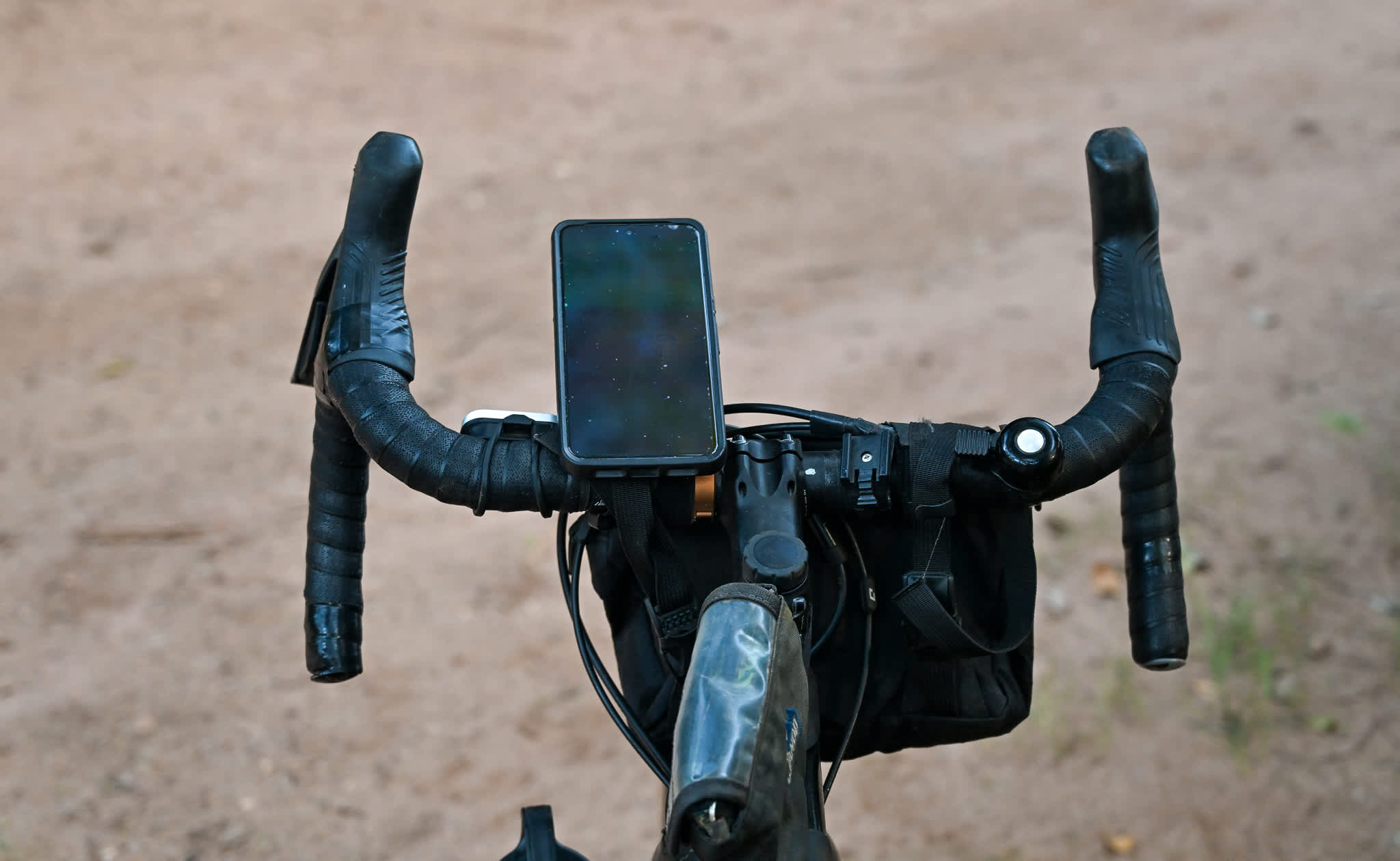
Ride with GPS is a flexible app that can be customized to best fit the users’ preferences. Most riders on TDA tours use a smartphone with the RWGPS app as their main navigation method. While this presents some challenges (weather resistance and battery drain), in our experience, it is the easiest setup to use, especially for anyone who is less tech-savvy. Riders can bring a battery pack as a back up. Others prefer to use a Garmin or Wahoo GPS device – these are also a good option, but require much greater effort and patience both for initial set up and to load the daily tracks. If you do not already use a Garmin or Wahoo device, a smartphone is the best option
Below you will find testimonials from the 2024 Tour d’Afrique riders explaining how they use the app to best suit them on their rides.
Henry
Henry uses a Wahoo when he rides, while also having Ride with GPS app active on his phone. The Wahoo gives him vocal cues which he thinks are helpful but keeps the app open on his phone because it provides him more information than is displayed on his Wahoo. “I check the app a lot on those long climb days because I need to proportion my energy properly.” He says he will also check information like the speed he is going and the distance he has left until the next stop he plans to make so he can estimate how long it will take him to reach his destination. Henry uses physical cue sheets as well (printed out versions of the cue sheets on Ride with GPS). “I have [used the sheets] to look for coke stops… if we are at kilometre 115 and it says there is a coke stop at kilometre 120, I know that I will have the chance to stop soon.”
Linda
Linda uses a Wahoo during her rides while also keeping the Ride with GPS app active on her phone. However, unlike Henry, she says she rarely opens the app during her ride. She does not use voice cues, simply following the arrows presented to her on her Wahoo. Linda says that riding without checking so many metrics and specifics is “just her style” and that it would be the same way if she was riding solo and not in a large group. “I very rarely look at the physical cue sheets,” Linda exclaims. “I bring them just in case I get separated and need to know what’s going on…I have a lot of trust in my arrows [on the Wahoo display].”
Jannes
Jannes uses a Garmin in order to navigate on the Tour d’Afrique. He jokes that it really is not all that difficult to navigate in Africa. “Well actually it’s not too complicated to ride in Africa cause most of the road is straight and has little turns!” He keeps his Garmin screen on throughout the entire ride because it has enough battery life to last the entire day without dying. The most important metric, and really the only one he says he looks at, is the distance to the next stop on his route. He mentions that he will occasionally look at the speed he is going, or what was going on during the ride, but not consistently.
Kenny (one of our bike mechanics)
Kenny uses his phone as his GPS as opposed to a Garmin or a Wahoo. He chooses to leave the screen blacked out but rides with the audio cues which he listens to in one earphone. He turns his screen on periodically to make sure that he is on route, but when he does, he does not use any of the specific metrics on his home screen. “I like the simplicity of just a line to follow and the avatar.” He says he does not use a physical cue sheet but will use the one provided on the Ride with GPS app when he needs it.
RELATED
TOUR
Tour d'Afrique
The trans-African crossing from Cairo to Cape Town has long been one of the world’s epic journeys and an iconic goal for global adventurers. Over...


4 Comments for "Herding Riders Across Africa: Ride With GPS"
I know about your very goog gps-Tracks, but how do you manage to charge the Garmins, phones or whatever on a camping Tour?
Many riders bring battery packs as back-up for the times when an electrical supply is unavailable.
How often do riders have access to electrical supply to charge devices including back up devices?
Most riders on the Tour d’Afrique bring battery back-ups for the times when charging is not possible. Along the way access to electricity is available in some campsites and restaurants and bars but we do not provide charging facilities ourselves.